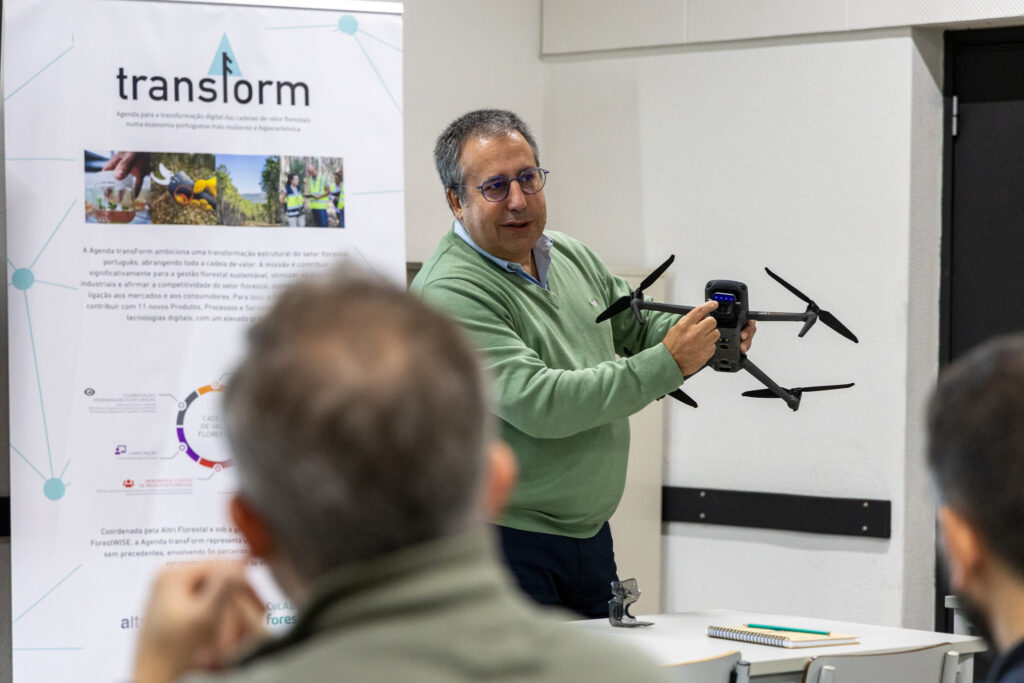
The Coimbra School of Agriculture (ESAC) hosted the training action “Introduction to the Use of Drones for Mapping and Analysis of Forest Stands”, carried out within the framework of the transForm Agenda, the Mobilising Agenda under the technical-scientific coordination of CoLAB ForestWISE.
Integrated into the Forest Knowledge Academy project, this training action aimed primarily to promote capacity building and skills recognition among forest operators, through the practical application of emerging technologies supporting forest management.
Throughout the training, participants from various consortium entities were introduced to the fundamentals and applications of drones in a forestry context, exploring the potential of RGB and multispectral sensors for high-resolution data acquisition and the production of centimetre-level accurate cartography.
The programme combined theoretical, demonstrative, and hands-on components, covering topics such as photogrammetry, flight planning, legislation and safety, image processing, and the creation of cartographic products, namely Orthophotos, Digital Terrain Models (DTM), Digital Surface Models (DSM), and Vegetation Indices.
The session was led by José Gaspar, CTO of CoLAB ForestWISE, and Ivon Brandão, from ESAC-IPC, who guided participants through automated flight operations, as well as the processing and analysis of the collected data using specialised software.